Surveying
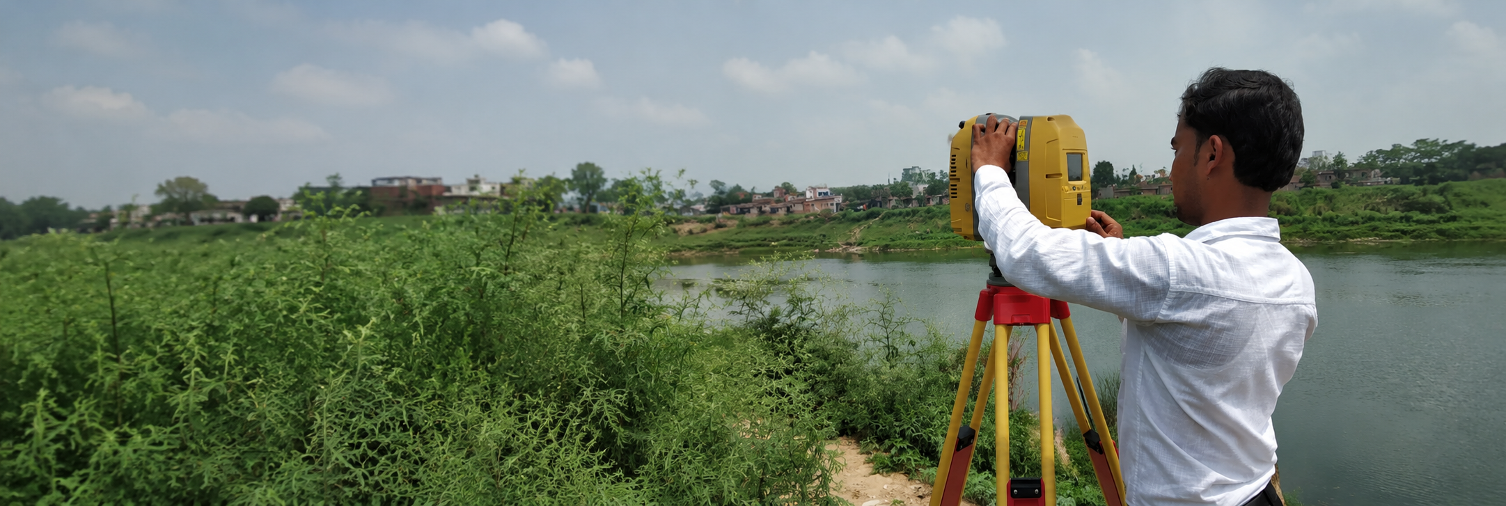
Survey & Land Mapping
West Bengal•2025
Advanced total station surveys, topographical mapping, and land measurement services supporting infrastructure development.
View ProjectFrom surveying and irrigation systems to road and infrastructure development, every project reflects our commitment to precision, quality, and execution.
Advanced total station surveys, topographical mapping, and land measurement services supporting infrastructure development.
View Project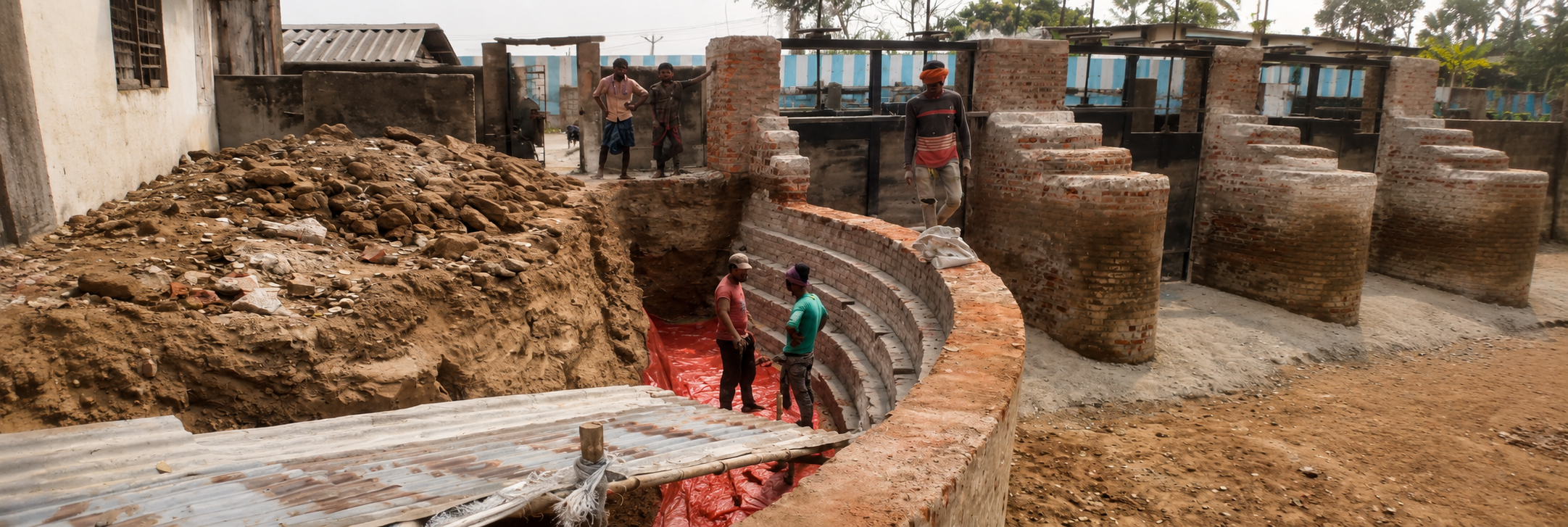
Field-grade earthwork, channel alignment, and irrigation support systems designed for long-term agricultural resilience.
View Project
Heavy civil execution, site coordination, and infrastructure delivery for durable road networks and corridor upgrades.
View ProjectNo project photos found. Place images in src/assets/projects/.